
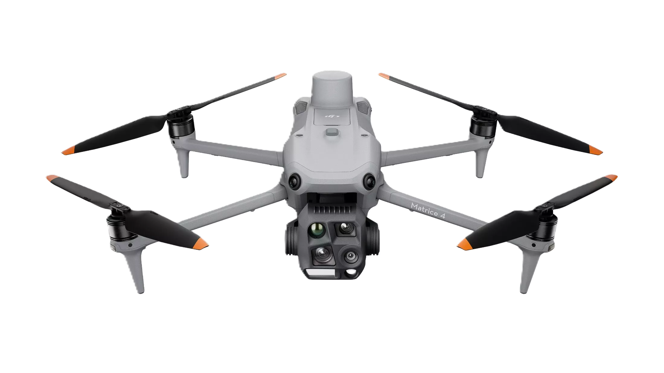
DJI Matrice 4E Professional Mapping Drone
DJI Matrice 4E Professional Mapping Drone
Contact Teku Team for Price & Demo
DJI Matrice 4E is purpose-built for professional surveying and mapping. Featuring RTK positioning, intelligent flight automation, advanced imaging, AI-assisted detection, and precision mapping capabilities, it enables rapid acquisition of high-quality geospatial data. Designed for surveyors, engineers, GIS professionals, and infrastructure inspectors, the Matrice 4E delivers efficient and reliable aerial mapping workflows.
Technical Specifications
| Product Type | Professional Mapping Drone |
| Imaging & Shutter | Mechanical Shutter Camera with Laser Range Finder |
| Positioning | Centimeter RTK Positioning (Supports D-RTK 3) |
| Flight Automation | Smart Oblique Capture, Terrain Follow & Automated Missions |
| Controller & Power | RC Plus 2 Controller & Battery Charging Hub |
| Compatible Software | DJI Terra, DJI FlightHub 2, DJI Pilot 2 |
| Applications | Land Survey, Mining, Topographic Mapping, Orthophotos, Road & Corridor GIS |
Key Capabilities & Benefits
Related Equipment Recommendations
DJI Matrice 400 Heavy-Lift Enterprise Drone
DJI's flagship enterprise drone engineered for surveying, mapping, infrastructure inspection, public safety, emergency response, logistics, and industrial operations.
DJI Matrice 4T Thermal Inspection Drone
Compact enterprise drone integrating thermal imaging, laser rangefinder, AI detection, and intelligent inspection capabilities.
DJI Matrice 350 RTK Industrial Drone
Professional multi-payload enterprise drone delivering reliable performance for surveying, mapping, inspections, and public safety.