
Drones in Nepal: Official Authorized DJI Dealer & Drone Supplier
Welcome to E Three Sales and Services Pvt. Ltd. (Teku, Kathmandu)—Nepal’s premier official Authorized DJI Dealer. We supply genuine DJI commercial drones, high-precision aerial survey mapping platforms, airborne LiDAR systems, thermal inspection cameras, and agricultural spraying drones across Nepal with official warranty & certified SLA maintenance.
Commercial Drone Solutions for Nepal's Terrain
From high-altitude Himalayan topographic mapping and hydropower transmission line inspection to agricultural crop spraying in the Terai, E3 Nepal equips enterprises, surveying consultancies, and government departments with verified UAV technology.
Topography & Cadastral Mapping
Centimeter-accurate photogrammetry with mechanical shutters and RTK positioning using the DJI Mavic 3 Enterprise and Matrice 4E for road alignments, land surveys, and urban development in Nepal.
Airborne LiDAR Bare-Earth Surveying
Penetrate dense subtropical forest canopy and map steep Himalayan slopes with multi-return laser scanners using DJI Matrice 350/400 RTK + Zenmuse L2 / L3 LiDAR for hydropower and mining cut-and-fill analysis.
Radiometric Thermal Inspection
High-resolution radiometric thermal imaging drones (Mavic 3T, Matrice 30T, Zenmuse H30T) deployed for firefighting, night rescue, solar farm diagnostics, and high-voltage electrical grid monitoring across Nepal.
Precision Agriculture & Spraying
Heavy-payload DJI Agras T50 (50 kg) and Agras T25 agricultural drones equipped with dual atomized sprayers and terrain-following radars for hillside orchards, paddy fields, and fertilizer spreading in Nepal.
Autonomous Drone-in-a-Box (Dock 2)
Automated DJI Dock 2 weather-sealed base stations for 24/7 autonomous facility perimeter surveillance, construction progress monitoring, and industrial asset security with fast automated charging.
Drone Repair, Parts & Calibration
Complete engineering maintenance lab located in Teku, Kathmandu. Original DJI spare parts, TB65 batteries, gimbal repairs, IMU sensor calibration, and certified SLA service contracts.
Understanding Drone Price in Nepal (2026 Guide)
When purchasing a commercial drone in Nepal, prices depend heavily on the drone category, requested sensor payloads (Photogrammetry vs. LiDAR vs. Thermal), battery package capacity, and RTK base station configurations.
DJI Mavic 3 Enterprise / M4E
Compact survey drones with 4/3 CMOS mechanical shutter and sub-centimeter RTK module. Ideal for road surveying, cadastral plots, and construction documentation.
DJI Mavic 3 Thermal (M3T) / M30T
Radiometric thermal sensor with 56× hybrid visual zoom and laser rangefinder. Essential for search & rescue, power grid inspection, and forest fire tracking in Nepal.
DJI Matrice 350 / 400 RTK + L3 LiDAR
Industrial multi-payload heavy-lift aircraft supporting Zenmuse L2/L3 LiDAR, P1 photogrammetry, and H30T optical payloads with IP55 weather protection.
Drone Laws & CAAN Registration Rules in Nepal
Operating drones in Nepal is regulated under the Civil Aviation Authority of Nepal (CAAN) Unmanned Aircraft System Requirements (UASR) and Ministry of Home Affairs directives.
Capped at 100 meters (328 ft) Above Ground Level (AGL) for standard Visual Line of Sight (VLOS) operations.
Strictly prohibited within 5 km of any airport or landing strip (TIA Kathmandu, Pokhara, Bhairahawa, etc.).
Every drone must be registered on the official CAAN portal with proof of purchase and technical specs.
Commercial mapping and foreign operators require security clearance from the Ministry of Home Affairs (MOHA).
Official DJI Enterprise Models in Nepal (33 Models)
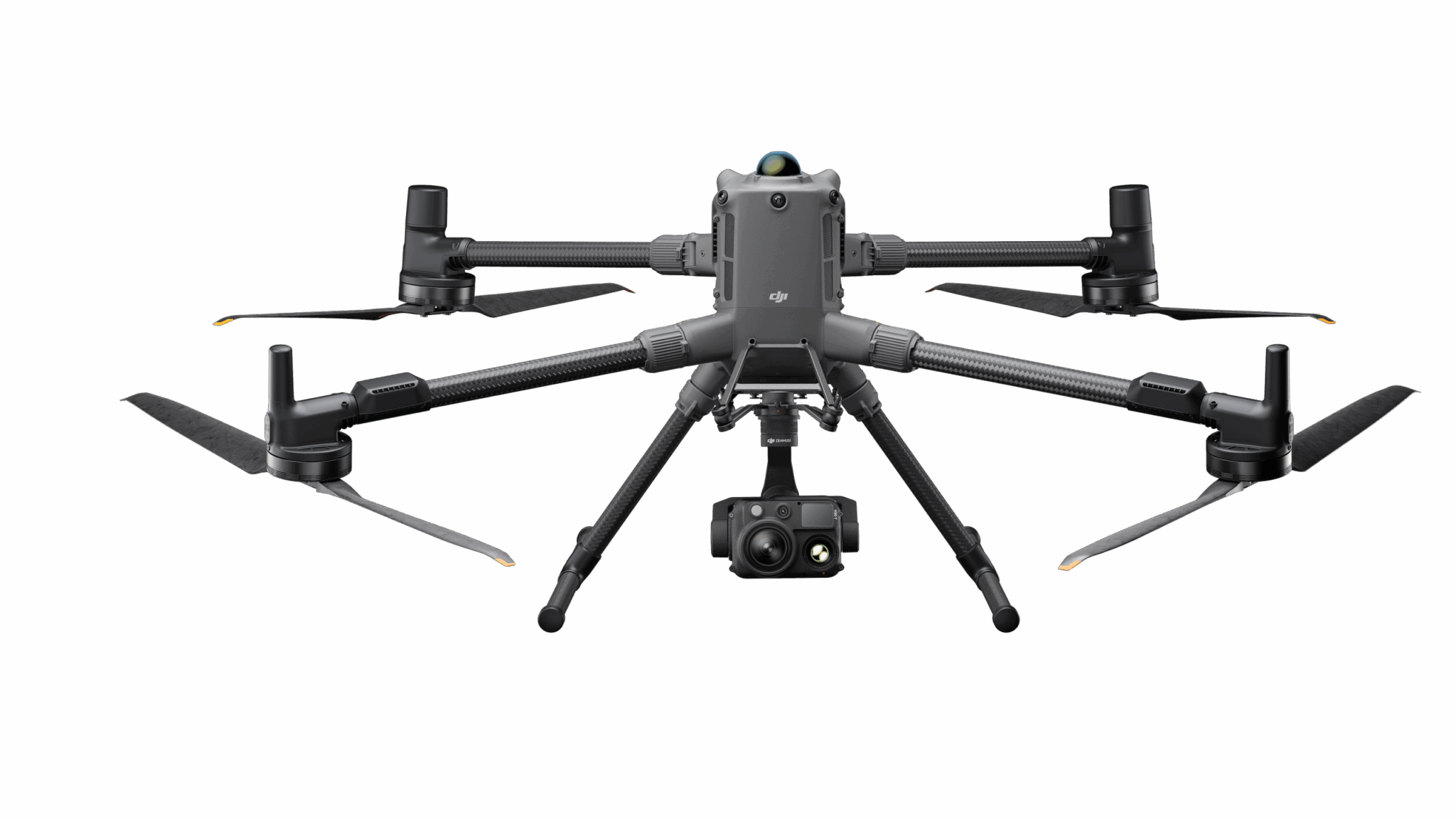
DJI Matrice 400 Heavy-Lift Enterprise Drone
DJI's flagship enterprise drone engineered for surveying, mapping, infrastructure inspection, public safety, emergency response, logistics, and industrial operations.
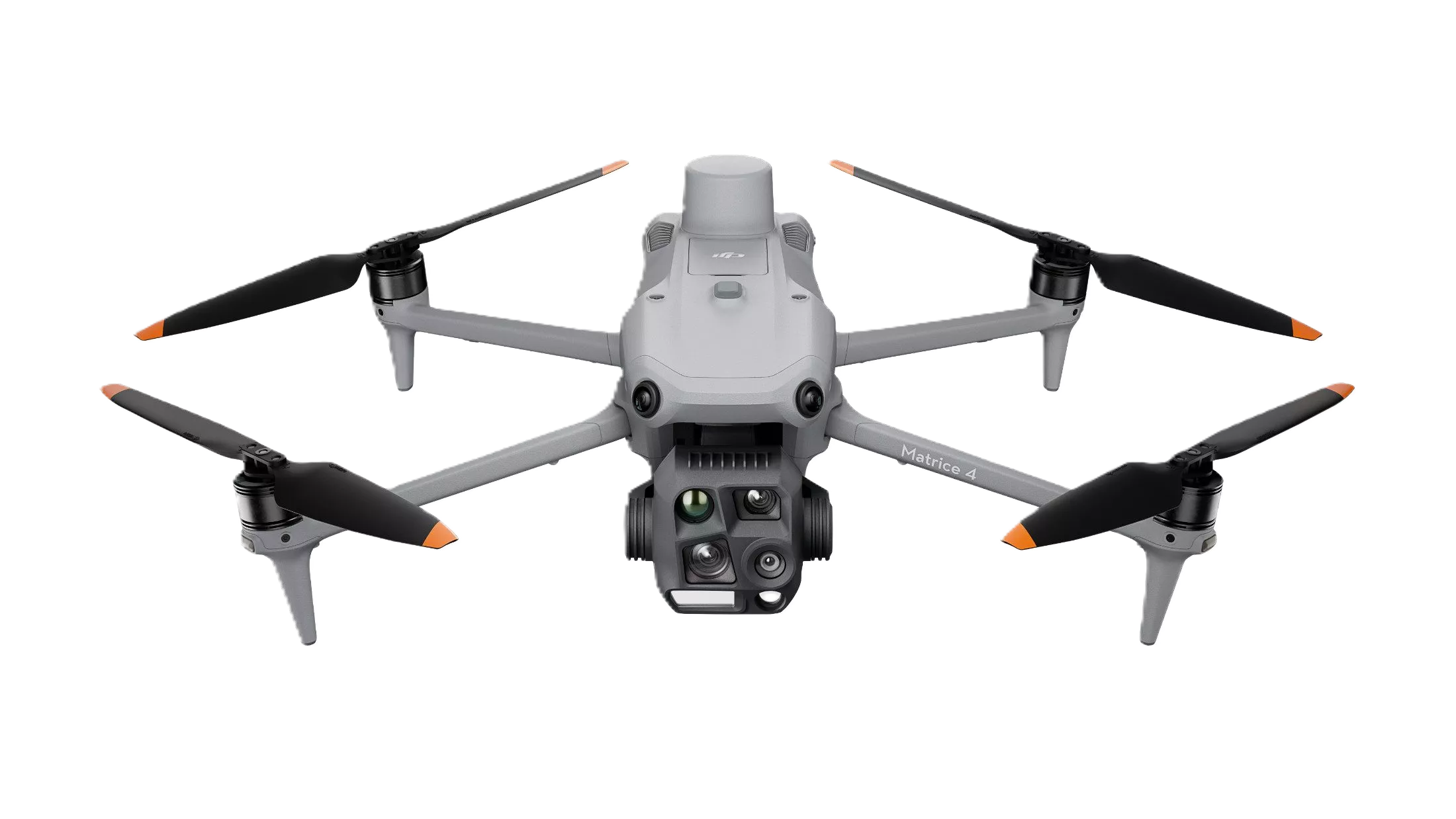
DJI Matrice 4E Professional Mapping Drone
Compact AI-powered enterprise mapping drone built for surveying, photogrammetry, construction, and geospatial applications.

DJI Matrice 4T Thermal Inspection Drone
Compact enterprise drone integrating thermal imaging, laser rangefinder, AI detection, and intelligent inspection capabilities.
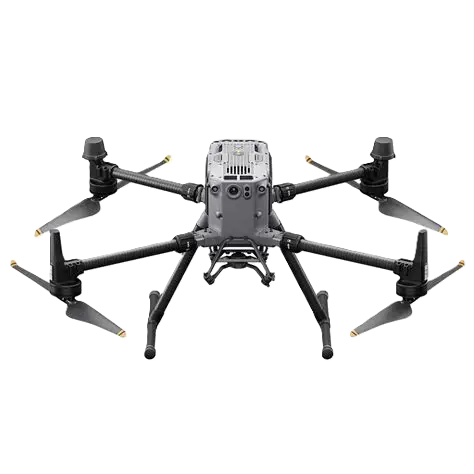
DJI Matrice 350 RTK Industrial Drone
Professional multi-payload enterprise drone delivering reliable performance for surveying, mapping, inspections, and public safety.

DJI Mavic 3 Enterprise (Mavic 3E)
Compact enterprise drone featuring a 20 MP wide camera with mechanical shutter, 56× hybrid zoom, RTK support, and intelligent mapping capabilities for surveying, inspection, and construction.

DJI Mavic 3 Thermal (Mavic 3T)
Portable thermal enterprise drone combining visible imaging, thermal imaging, zoom camera, and RTK positioning for emergency response and industrial inspection.

DJI Matrice 30 (M30) Industrial Inspection Drone
Portable IP55-rated industrial drone with integrated zoom camera, wide camera, laser rangefinder, and advanced obstacle sensing for professional inspection missions.
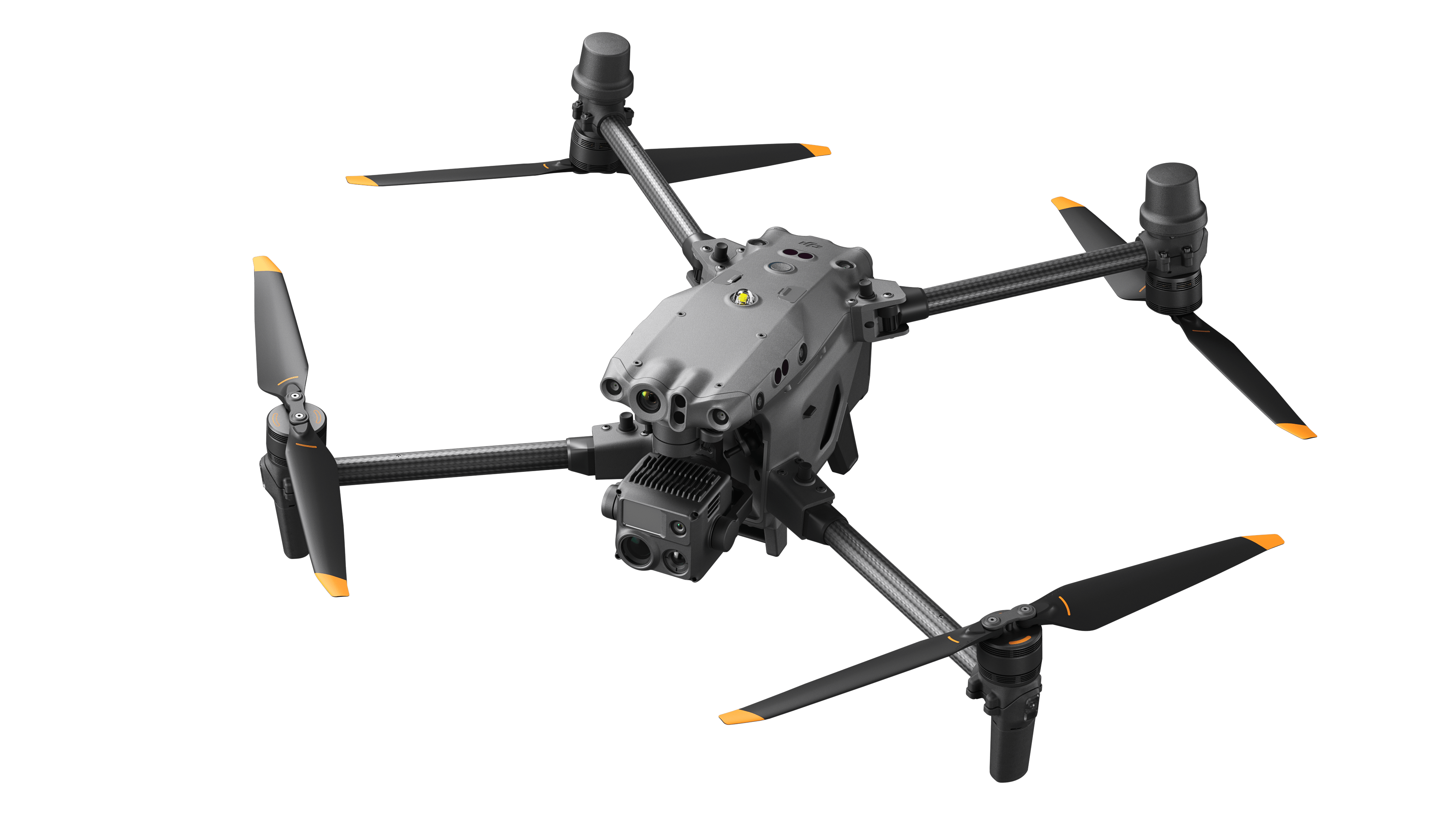
DJI Matrice 30T (M30T) Thermal Industrial Drone
Multi-sensor industrial drone featuring thermal imaging, zoom camera, laser rangefinder, and IP55 protection for demanding field operations.
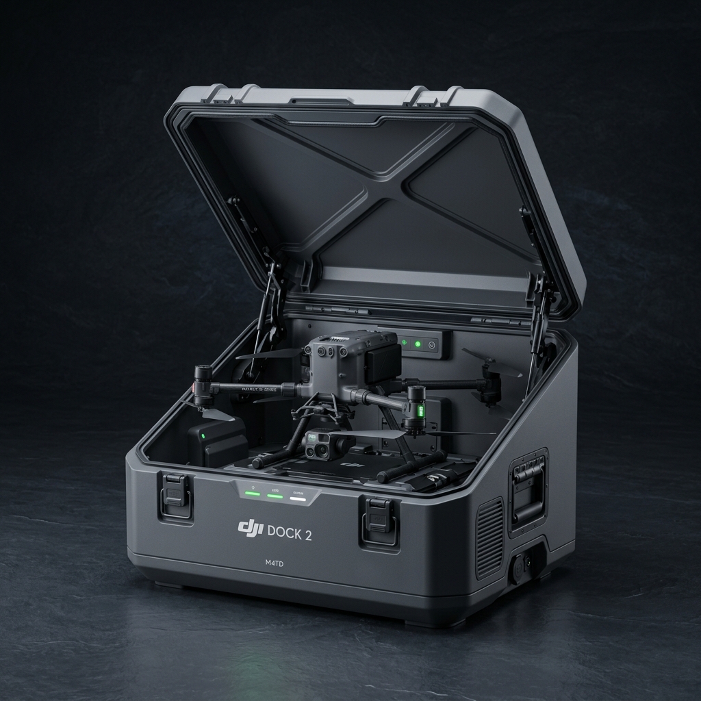
DJI Mavic 4 Thermal Dock (M4TD) Automated System
Fully autonomous drone-in-a-box solution with thermal M4TD copter, IP55 weatherproof dock, auto charging, and remote cloud dispatch.

DJI Mavic 3 Multispectral (Mavic 3M)
Professional agricultural drone combining a high-resolution RGB camera with four multispectral sensors for precision farming, crop health analysis, and agricultural mapping.
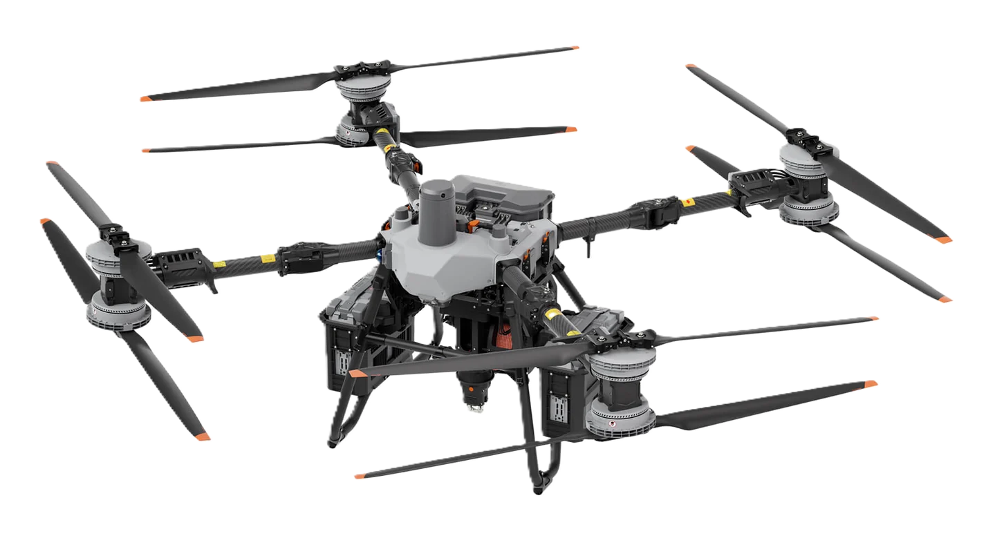
DJI FlyCart 100 Heavy Lift Logistics Cargo Drone
DJI's flagship cargo drone engineered for logistics, emergency response, mountain transport, and industrial material delivery with payloads up to 149.9 kg.
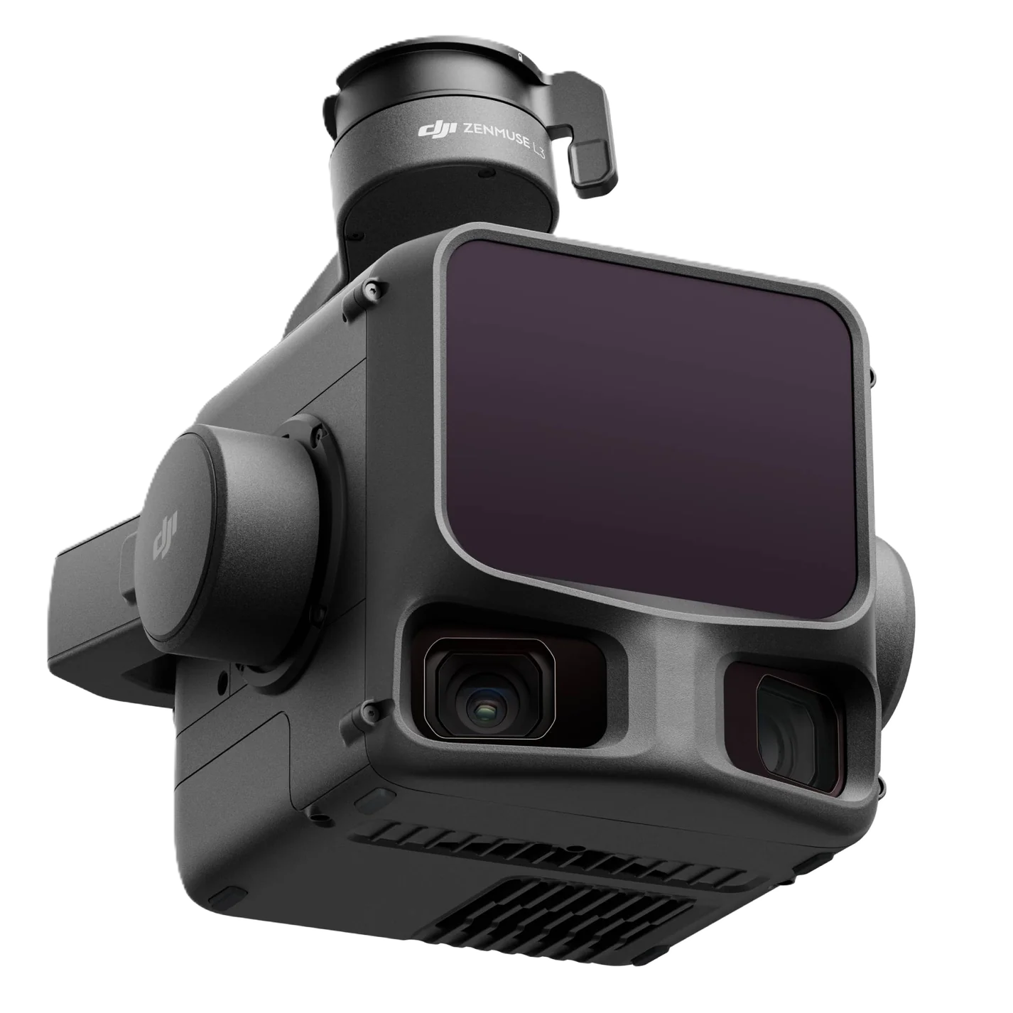
DJI Zenmuse L3 Airborne LiDAR System
High-performance LiDAR mapping payload featuring a 1535 nm laser scanner and dual 100 MP RGB mapping cameras for survey-grade data acquisition.
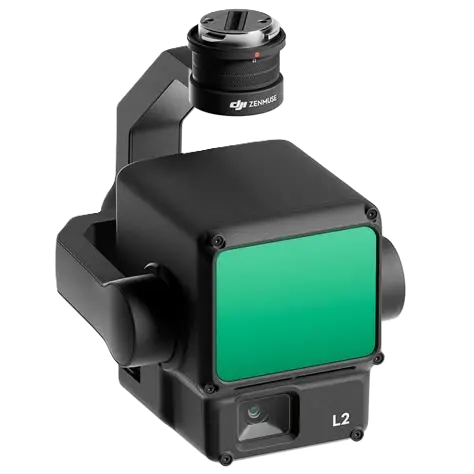
DJI Zenmuse L2 Integrated LiDAR Mapping Payload
Professional LiDAR mapping payload integrating a frame-based laser scanner, high-precision IMU, and a 4/3 CMOS RGB camera for survey-grade mapping.

DJI Zenmuse P1 Full-Frame Photogrammetry Payload
Professional full-frame aerial mapping camera with interchangeable fixed-focus lenses, mechanical shutter, and survey-grade accuracy for photogrammetry missions.
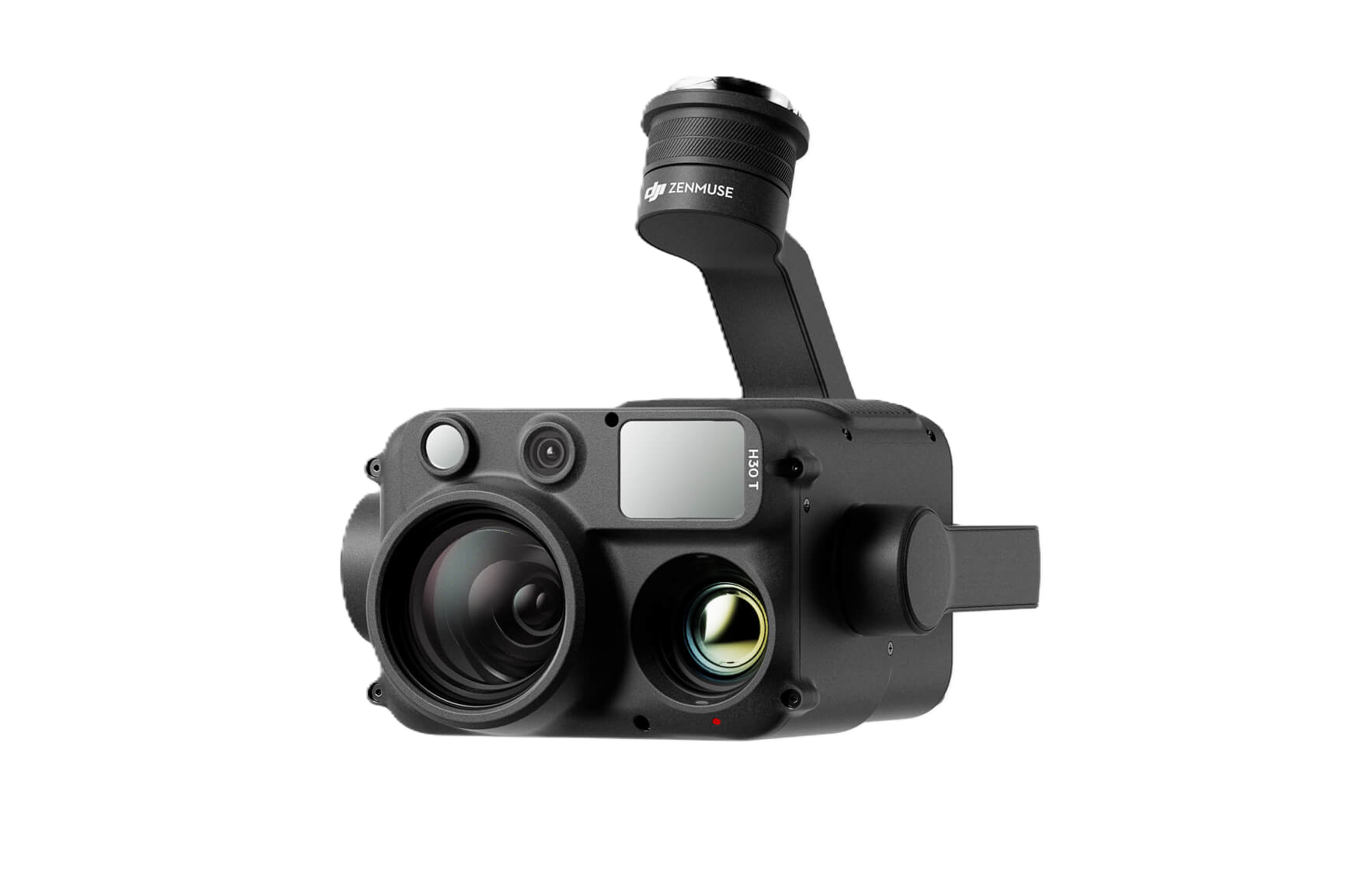
DJI Zenmuse H30 Multi-Sensor Inspection Payload
Advanced multi-sensor payload combining wide-angle imaging, high-power zoom, laser rangefinder, and intelligent inspection capabilities for industrial applications.

DJI Zenmuse H30T Radiometric Thermal Multi-Sensor Payload
Professional thermal inspection payload integrating visible cameras, radiometric thermal imaging, laser rangefinder, and AI-powered inspection capabilities.
DJI Zenmuse H20 Hybrid Multi-Sensor Payload
Integrated multi-sensor payload combining zoom, wide-angle, and laser rangefinder cameras for intelligent industrial inspections.
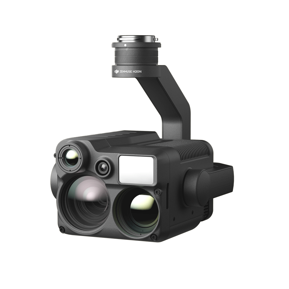
DJI Zenmuse H20N Night Vision Multi-Sensor Payload
Hybrid night-vision payload integrating starlight cameras, dual thermal sensors, zoom optics, and laser rangefinder for 24/7 operations.

DJI Zenmuse S1 Intelligent Searchlight Payload
Professional high-intensity searchlight payload designed for nighttime operations, emergency response, inspection, and public safety missions.
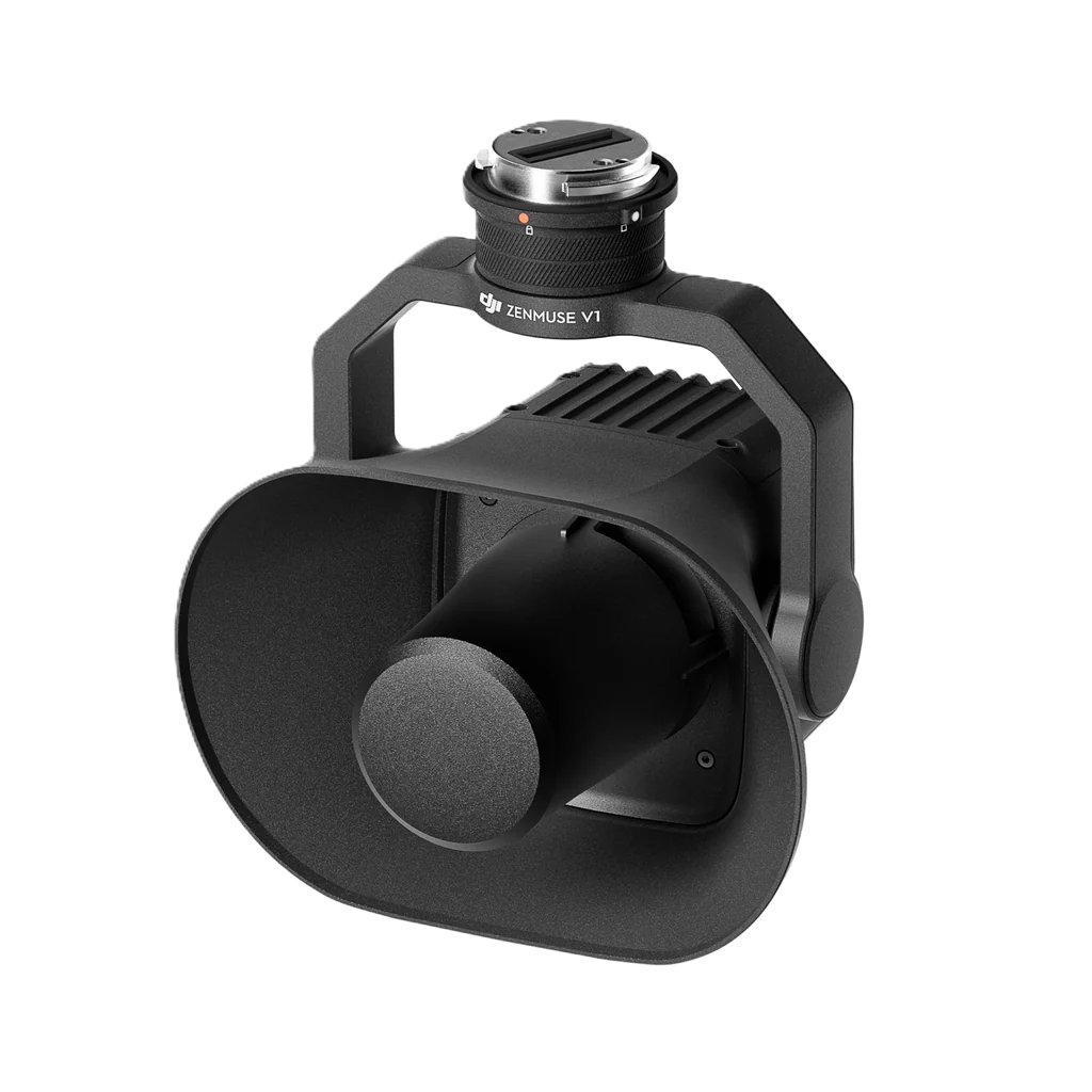
DJI Zenmuse V1 Broadcast Speaker Payload
Professional aerial loudspeaker for emergency broadcasting, crowd management, search and rescue, and public safety operations.

DJI Dock Autonomous Drone Docking Station
Fully automated drone-in-a-box solution enabling 24/7 remote operations, automatic charging, and scheduled autonomous missions.
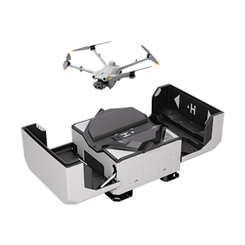
DJI Dock 2 Next Generation Autonomous Dock
Lightweight autonomous docking station designed for rapid deployment, cloud-based operations, automated inspections, and remote drone management.
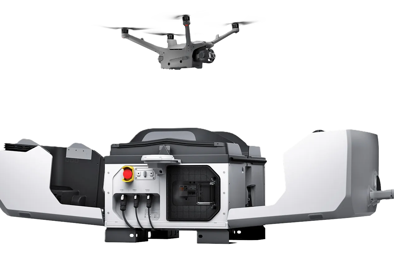
DJI Dock 3 Advanced Autonomous Drone Dock
DJI's most advanced drone-in-a-box solution supporting remote enterprise operations with intelligent automation, cloud integration, and all-weather deployment.

DJI FlightHub 2 Cloud Fleet Management Platform
Cloud-based drone fleet management software providing mission planning, remote operations, live streaming, collaborative mapping, and asset management.

DJI FlightHub 2 AIO Integrated Edge Fleet Management System
Ready-to-deploy edge computing solution combining FlightHub 2 software with local hardware for secure enterprise drone operations.
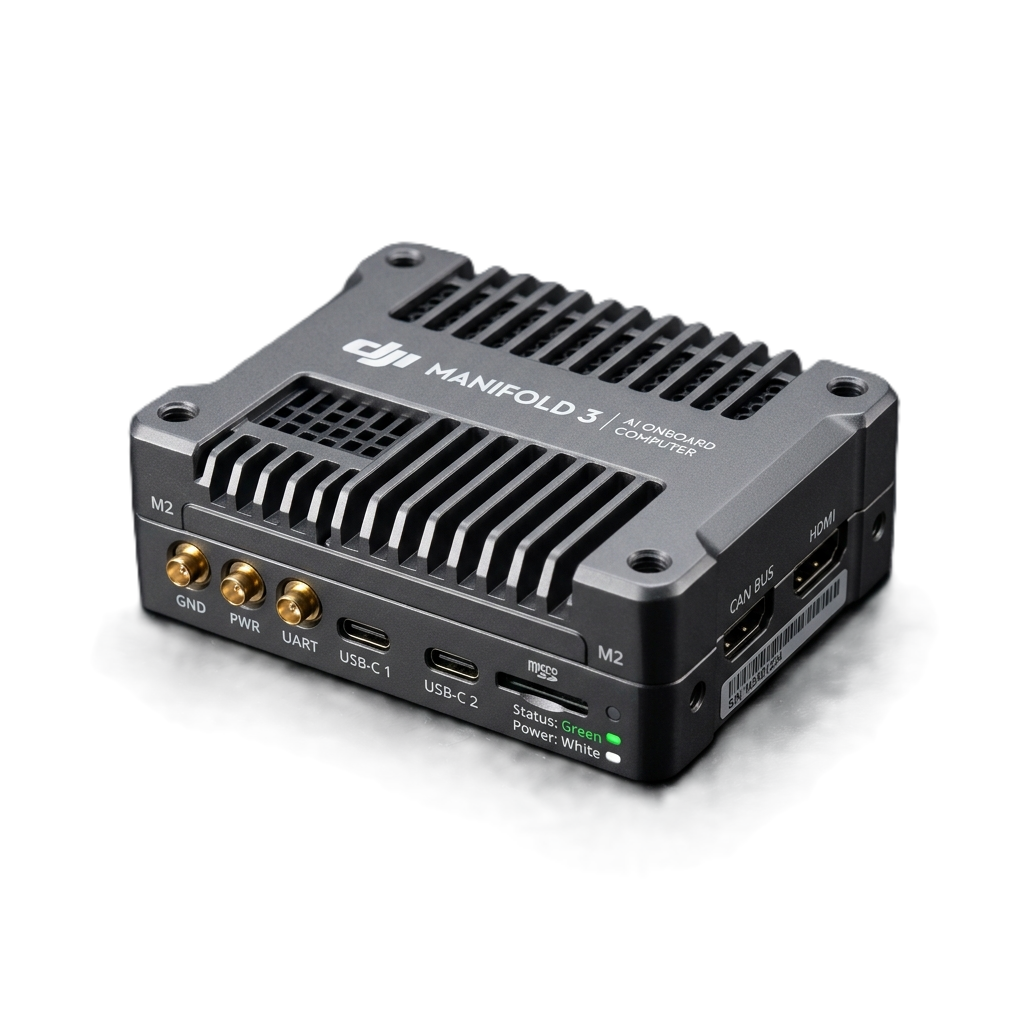
DJI Manifold 3 Onboard AI Computing Platform
High-performance onboard edge computing system providing AI processing, autonomous decision-making, machine vision, and real-time data analysis for DJI Enterprise drones.
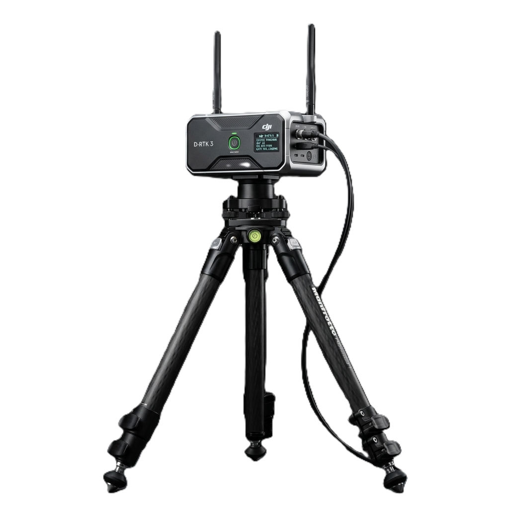
DJI D-RTK 3 Multifunctional Base Station
Professional multifunctional GNSS station delivering centimeter-level RTK corrections, relay communication, and high-precision positioning for enterprise drone operations.
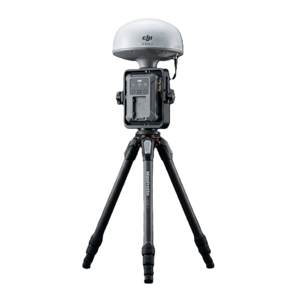
DJI D-RTK 2 Mobile GNSS Reference Station
Portable multi-GNSS RTK base station providing centimeter-level positioning for aerial surveying, mapping, and inspection.

DJI O4 Long-Range Ground Station
Professional communication station extending transmission range and enabling reliable enterprise drone operations through gateway and relay modes.
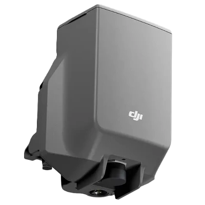
DJI AP100 Emergency Recovery Parachute System
Enterprise emergency parachute system providing rapid deployment and enhanced operational safety for DJI enterprise drones.
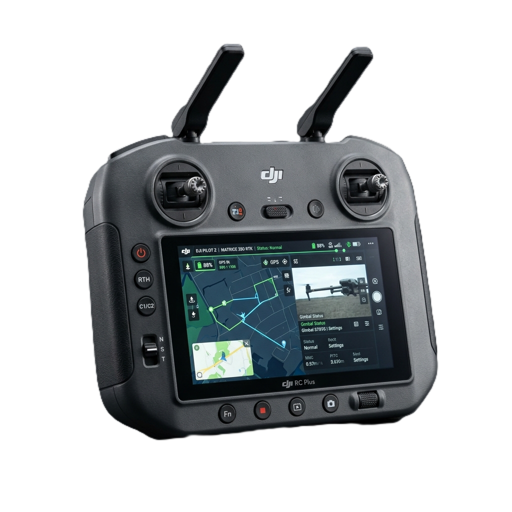
DJI RC Plus Enterprise Smart Controller
Industrial-grade smart controller featuring a high-brightness display, IP-rated durability, long battery life, and enterprise-focused controls.
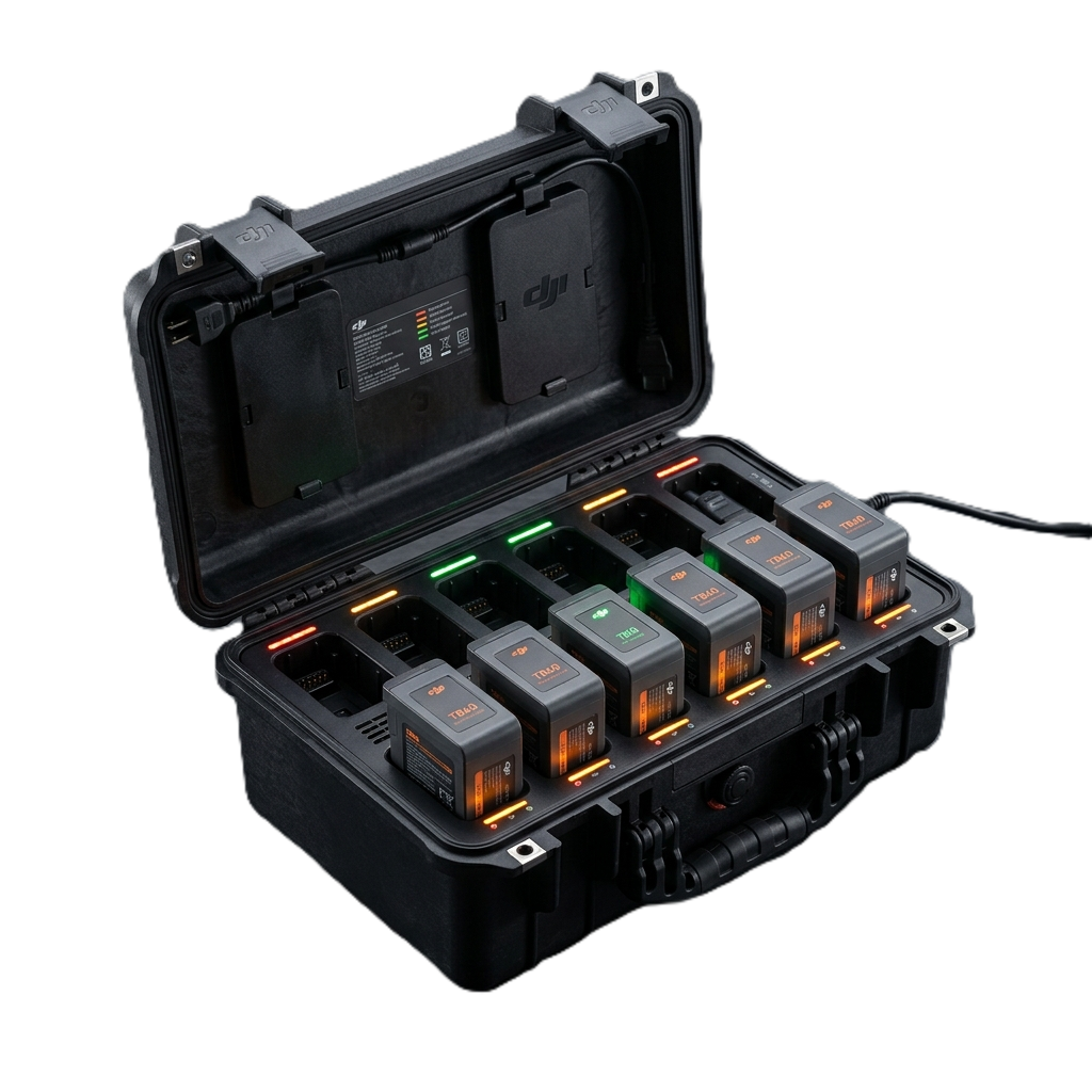
DJI BS100 Intelligent Battery Management Station
High-speed intelligent charging station for DJI enterprise batteries with smart charging, storage, diagnostics, and battery health management.

DJI Agras T50 Heavy-Payload Agricultural Copter
Flagship agricultural drone featuring 40kg spraying payload, 50kg spreading capacity, twin atomizing sprayers, and active phased array radar.
Frequently Asked Questions About Drones in Nepal
Clear answers to the most common search questions about drone prices, permits, repairs, and surveying in Nepal.
Where can I buy official DJI drones with genuine warranty in Nepal?
You can buy genuine DJI Enterprise drones directly from E Three Sales & Services Pvt. Ltd. (Teku, Kathmandu), Nepal's official Authorized DJI Dealer. Every unit includes official manufacturer warranty, genuine import documentation, and local SLA technical repair support.
What is the price of drones in Nepal in 2026?
Drone prices in Nepal depend on the application category. Compact survey drones like the DJI Mavic 3 Enterprise start in the professional bracket, while heavy-lift multi-payload platforms like the DJI Matrice 350/400 RTK with Zenmuse L2/L3 LiDAR or DJI Agras T50 agricultural sprayers depend on specific sensor and battery configurations. Contact E3 Nepal in Teku for an official, tax-compliant VAT quotation.
Do I need permission from CAAN to fly a drone in Nepal?
Yes. Operating drones in Nepal requires registration with the Civil Aviation Authority of Nepal (CAAN) to obtain a Unique Identification Number (UIN). Flights over 2 kg, commercial surveys, or flights in sensitive zones require additional clearances from the Ministry of Home Affairs (MOHA) and local District Administration Offices (DAO). E3 Nepal assists clients with regulatory paperwork and technical compliance.
What is the best drone for land surveying and mapping in Nepal?
For open terrain, road alignments, and cadastral mapping, the DJI Mavic 3 Enterprise (M3E) or Matrice 4E with RTK module is the industry standard due to its mechanical shutter and sub-centimeter accuracy. For dense forest canopy, steep mountains, and hydropower reservoirs, the DJI Matrice 350/400 RTK paired with the Zenmuse L2 or Zenmuse L3 LiDAR is the recommended solution.
Does E3 Nepal provide DJI drone repair and spare parts in Kathmandu?
Yes! Our Teku engineering service center provides certified DJI repair services, genuine replacement propellers, TB65 intelligent flight batteries, WB37 battery hubs, gimbal replacements, sensor calibrations, and firmware troubleshooting across Nepal.
Can I buy agricultural spraying drones in Nepal for farm crops?
Yes, E3 Nepal supplies the DJI Agras T50 and Agras T25 agricultural drones across Nepal. These heavy-payload drones feature centrifugal atomized spraying (up to 50 kg payload), terrain-following phased array radar for Himalayan terraces, and automated seed/fertilizer spreading systems.
What is DJI Dock 2 and how does autonomous drone surveillance work?
DJI Dock 2 is a weather-proof 'drone-in-a-box' autonomous station that deploys the Matrice 3D/3TD drone automatically for programmed patrol flights, cloud-based inspection, and fast recharging (20% to 90% in 32 minutes) without requiring an on-site pilot.
How can I get an official DJI drone quotation for government or institutional tenders in Nepal?
You can request an official tax invoice / VAT quotation by contacting E3 Nepal directly via email at e3nepal@gmail.com or WhatsApp at +977-9801021219. We provide complete institutional tender support, manufacturer authorization letters, and post-delivery SLA commitments.
Delivering Commercial Drones & Engineering Support Across All 7 Provinces
E Three Sales & Services provides on-site drone delivery, calibration, pilot flight orientation, and warranty service across Kathmandu Valley, Pokhara, Chitwan, Lalitpur, Bhaktapur, Biratnagar, Butwal, Dharan, Nepalgunj, Hetauda, and all remote hydropower and infrastructure project sites across Nepal.