
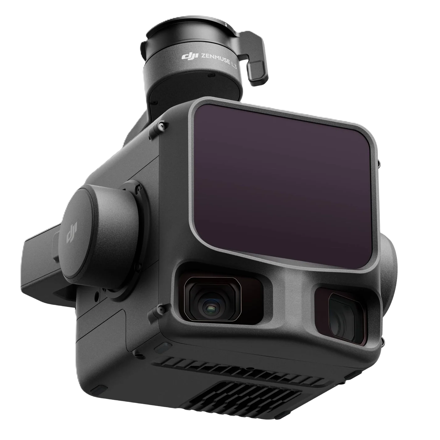
DJI Zenmuse L3 Airborne LiDAR System
DJI Zenmuse L3 Airborne LiDAR System
Contact Teku Team for Price & Demo
DJI Zenmuse L3 represents DJI Enterprise's most advanced airborne LiDAR solution. Combining a high-density 1535 nm laser scanner, dual 100 MP RGB mapping cameras, precision IMU, and seamless integration with DJI Terra, it enables rapid generation of highly accurate point clouds, orthophotos, digital elevation models, and 3D reconstructions. Designed for surveyors, GIS professionals, mining engineers, forestry specialists, and infrastructure inspectors, the L3 delivers industry-leading efficiency for large-area geospatial projects.
Technical Specifications
| Laser Wavelength | 1535 nm LiDAR Sensor |
| RGB Mapping Cameras | Dual 100 MP High-Resolution Cameras |
| Max Daily Coverage | Up to 100 km² Per Day |
| Accuracy & IMU | Survey-grade Precision with High-Accuracy IMU |
| Point Cloud Density | High Point Cloud Density & Superior Vegetation Penetration |
| Compatible Aircraft | DJI Matrice 400 & Future Enterprise Platforms |
| Compatible Software | DJI Terra, DJI Modify, DJI FlightHub 2 |
Key Capabilities & Benefits
Related Equipment Recommendations
DJI Matrice 400 Heavy-Lift Enterprise Drone
DJI's flagship enterprise drone engineered for surveying, mapping, infrastructure inspection, public safety, emergency response, logistics, and industrial operations.
DJI Matrice 4E Professional Mapping Drone
Compact AI-powered enterprise mapping drone built for surveying, photogrammetry, construction, and geospatial applications.
DJI Matrice 4T Thermal Inspection Drone
Compact enterprise drone integrating thermal imaging, laser rangefinder, AI detection, and intelligent inspection capabilities.